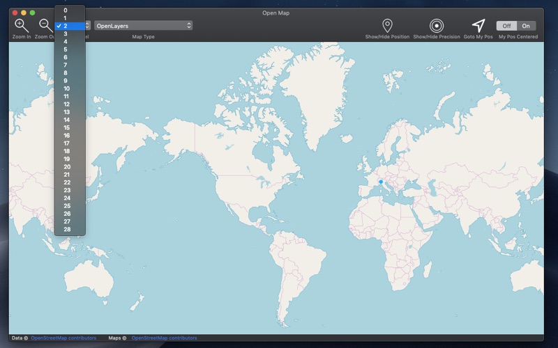
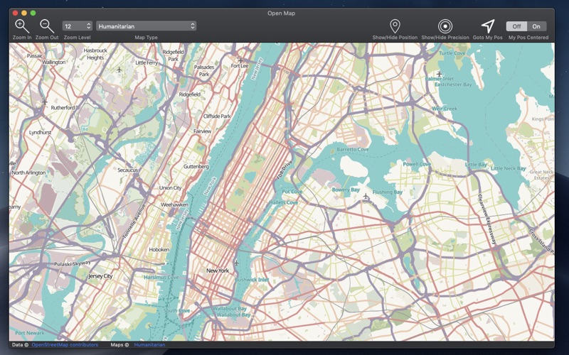
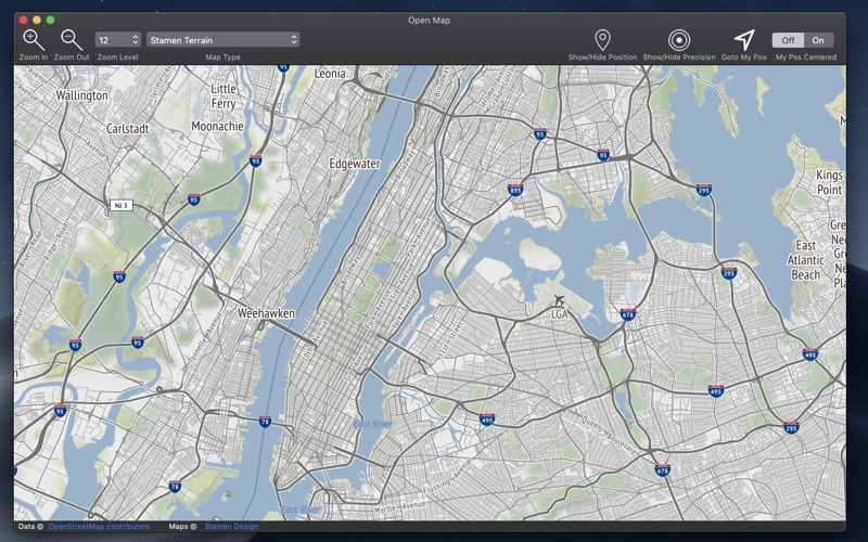
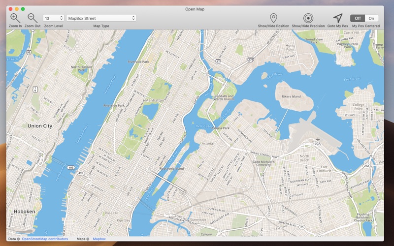
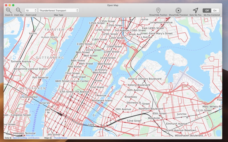
Open Map brings on the Mac many maps of the open standard map world. Open Map covers all the world exactly as other well know proprietary formats but with more then 60 map types with different style, graphic and also data, always up to date, available with 1 click with a resolution level ranging from 0 to 28. A must have for anyone working with maps, from designers to developers, to evaluate map types or to produce PDF map images of various area or other purposes. FEATURES • Open standard map world inside a Cocoa native Mac application • Scroll, move, zoom in and out to any level you like of any point of the globe • Custom zoom level also from menu • Switch map time at any time at any zoom. • Export as PDF, PNG, TIFF, JPEG any visualized map at selected position and zoom level • Visualize your position and precision range via geo wi-fi • Position update over the map if you are moving SOME OF THE 65 AVAILABLE MAPS • Wikimedia • Humanitarian • Black & White • OpenTopo • Hike & Bike • Hydda • Toner • Terrain • Watercolor • Positron • Dark Matter • Flat Blue • Roads • Hybrid • Contour • Grayscale • Street • Topo • Imagery • Shaded Relief • LightGray • NatGeo • Delorme • Ocean • OpenCycle • transport • Landscape • Pioner • Atlas • Outdoor • Satellite • Lyzidiamond • Street Satellite ALSO AVAILABLE FOR We have also an iOS version for the iPhone and the iPad with similar features. Search on the iOS App Store for 'Open-Map'